Road construction projects have been updated and are conveniently located directly above each state map.
Main features:
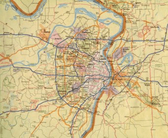
- Updated US atlas contains maps of every U.S. state and Canadian province, an overview of Mexico, and detailed inset maps of over 350 cities and 20 U.S. National Parks
- 2011 Best of the Road picks detail great trips from start to finish and all the stops along the way.
- GPS and online travel companion for better navigation included in the 2011 Rand McNally Road Atlas.
- Road construction projects and updates highlighted on each map within the US atlas
- US atlas contains mileage chart showing distances between 90 North American cities and national parks
Comments